See photos (3)
Circuit des 7 étangs
in Demigny
13.8
km
3h 40min
Easy
-
Hiking trail that allows you to discover the forest and ponds around Demigny.
-
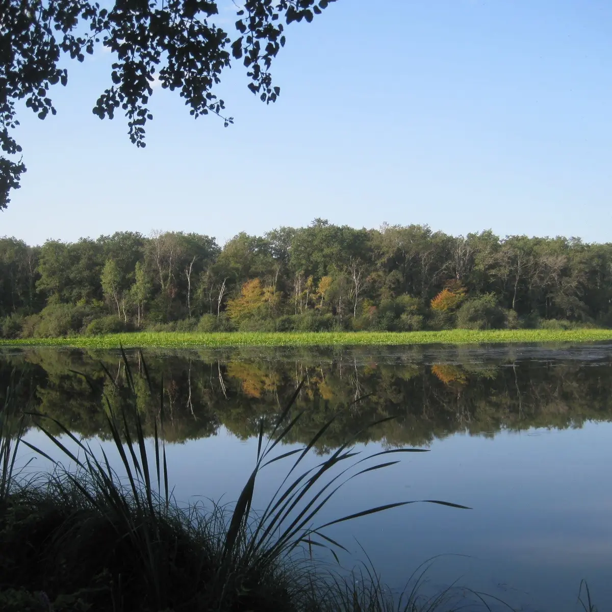
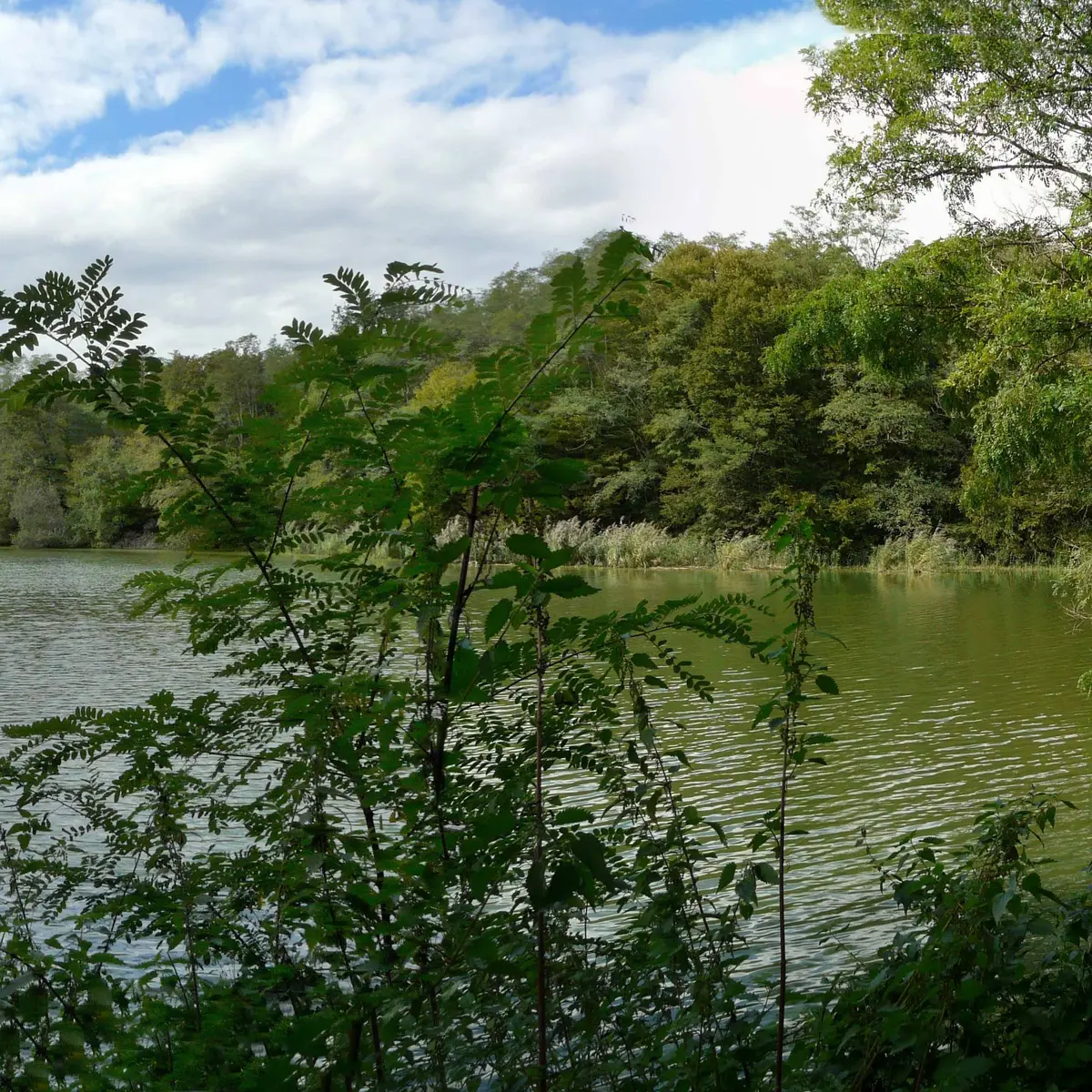
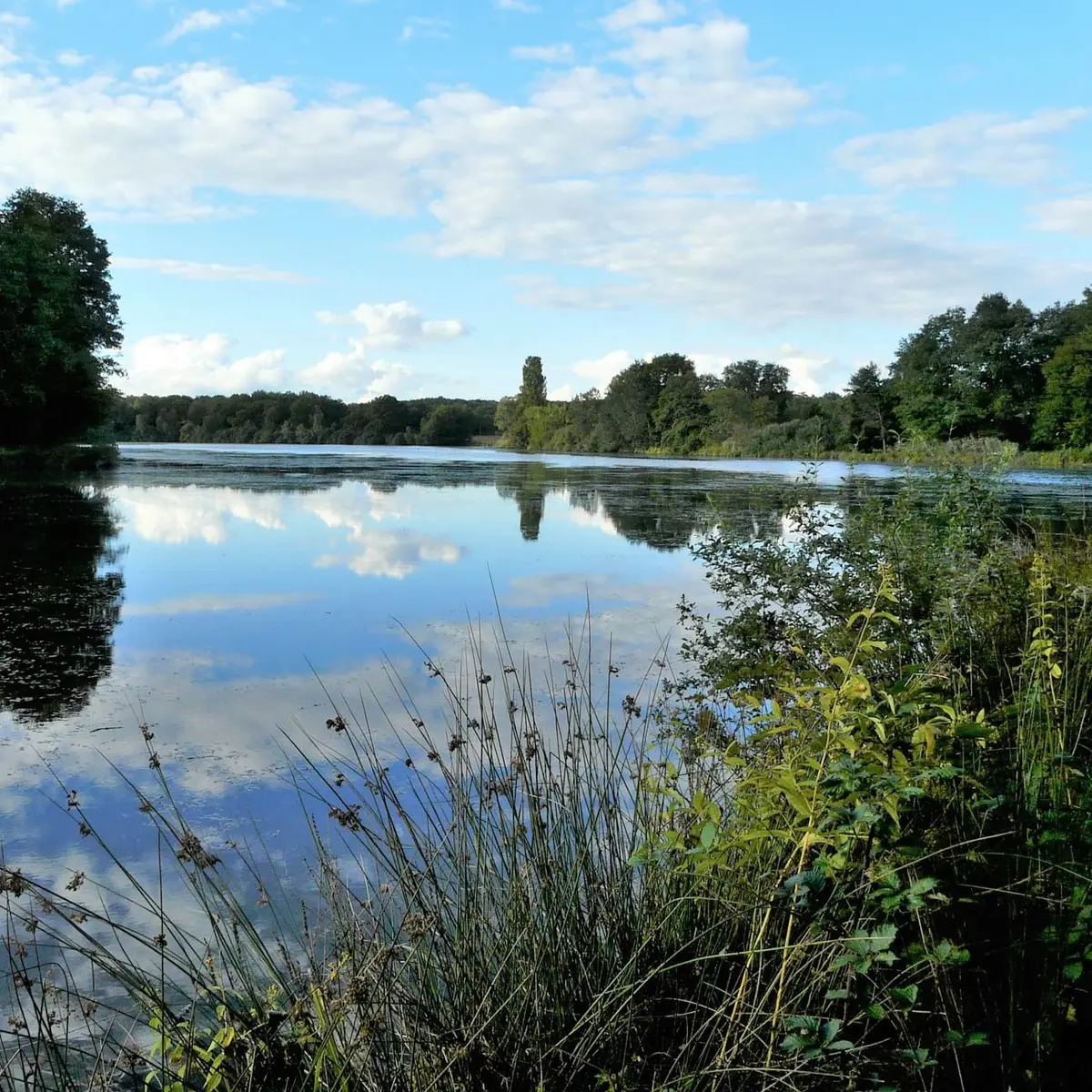
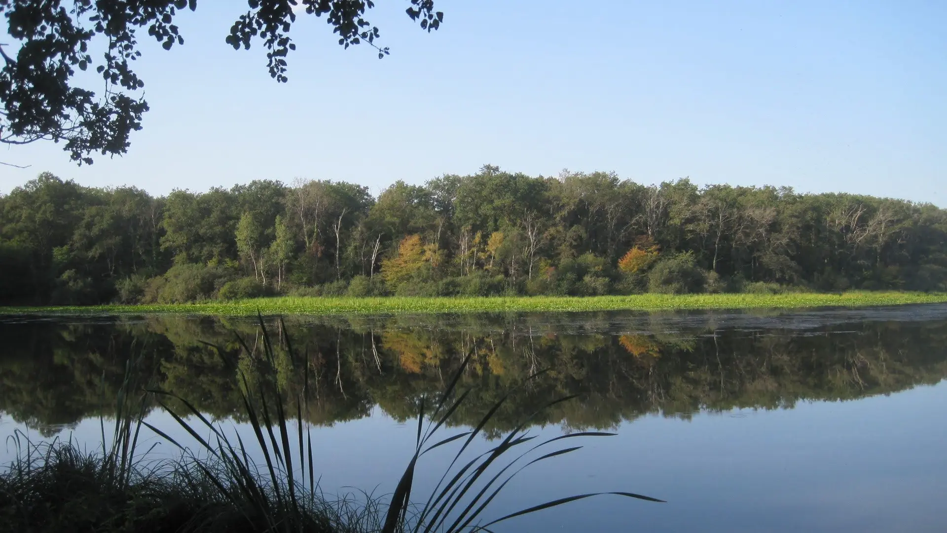
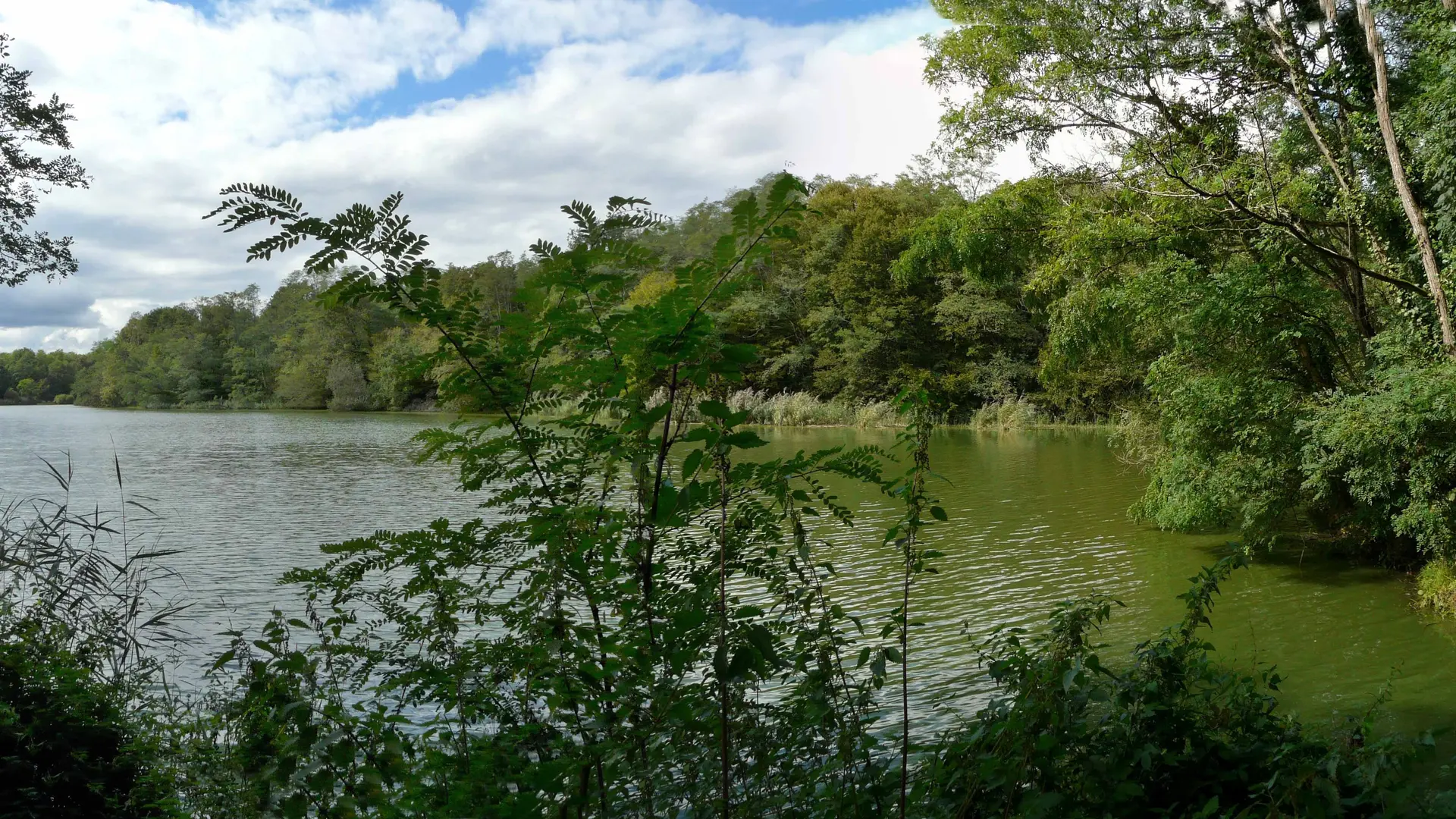
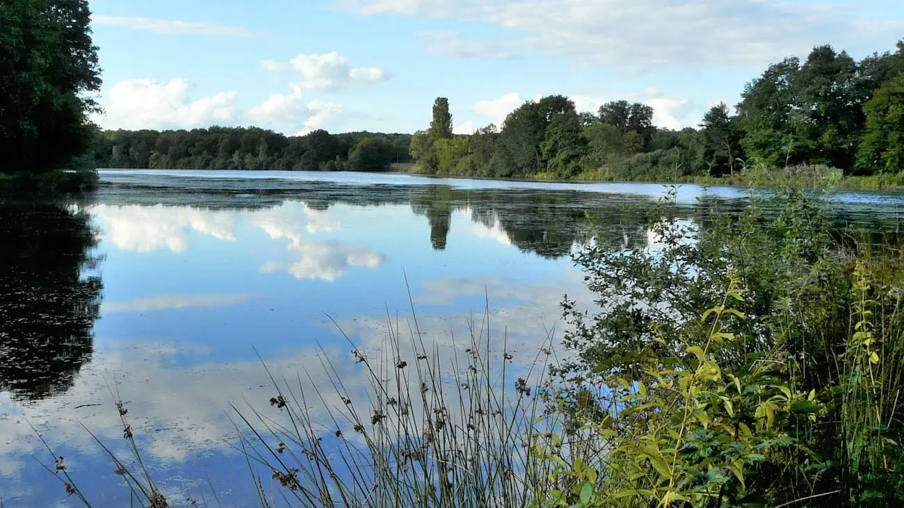
Hiking trail that allows you to explore the forest and ponds around Demigny. Blue markings on various trails. Part of the trail is in the forest and part is in open countryside. Wildlife observation around the ponds. Discovery of the flora and fauna. The main starting point for this route is located in the hamlet of Beauregard in Demigny 71150, near the Grand Beauregard pond.
- Departure
- Demigny
-
-
Difference in height
- 224.26 m
-
-
-
Documentation
- GPX / KML files allow you to export the trail of your hike to your GPS (or other navigation tool)
-
- See all reviews
- Points of interest
- 224 meters of difference in height
-
- Start altitude : 201 m
- End altitude : 206 m
- Maximum altitude : 238 m
- Minimum altitude : 194 m
- Total positive elevation : 224 m
- Total negative elevation : -219 m
- Max positive elevation : 15 m
- Min positive elevation : -20 m