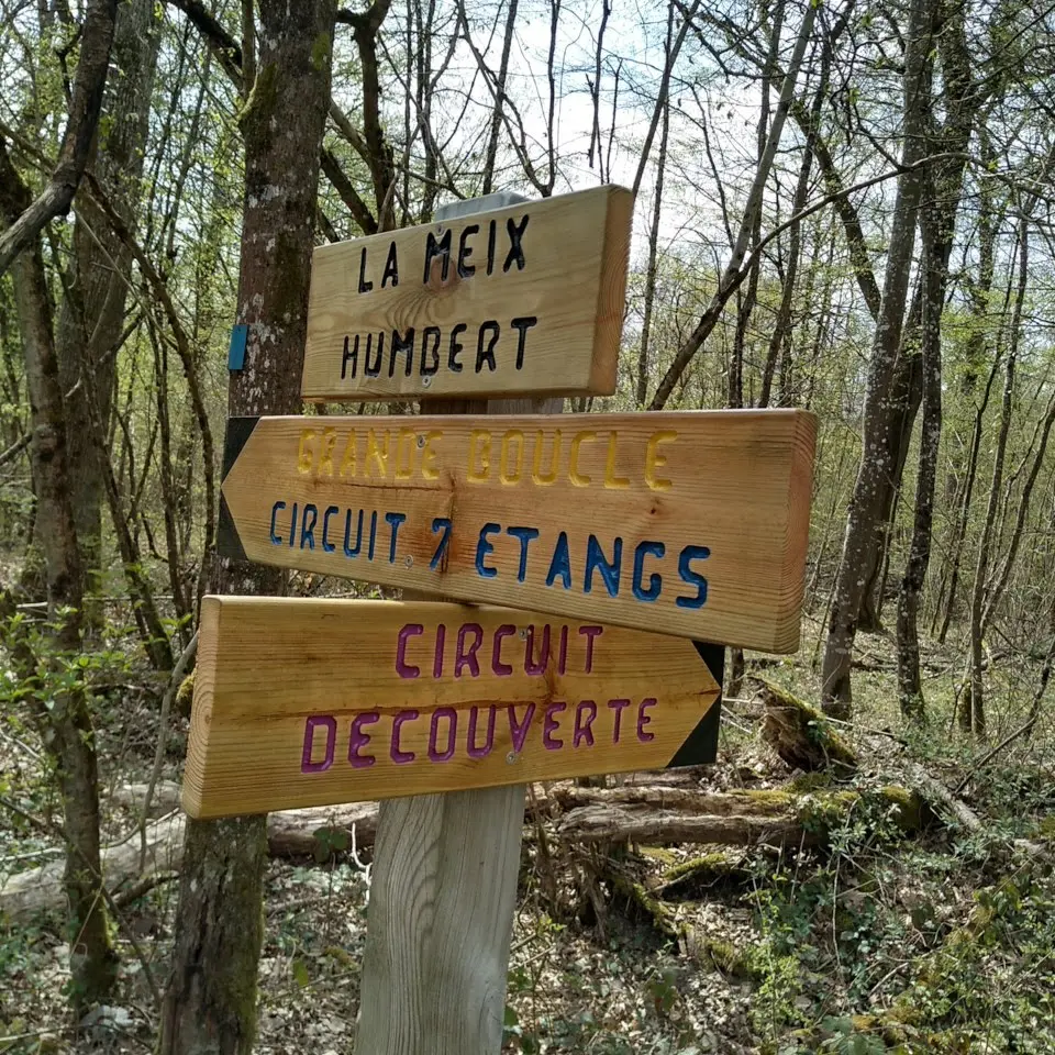
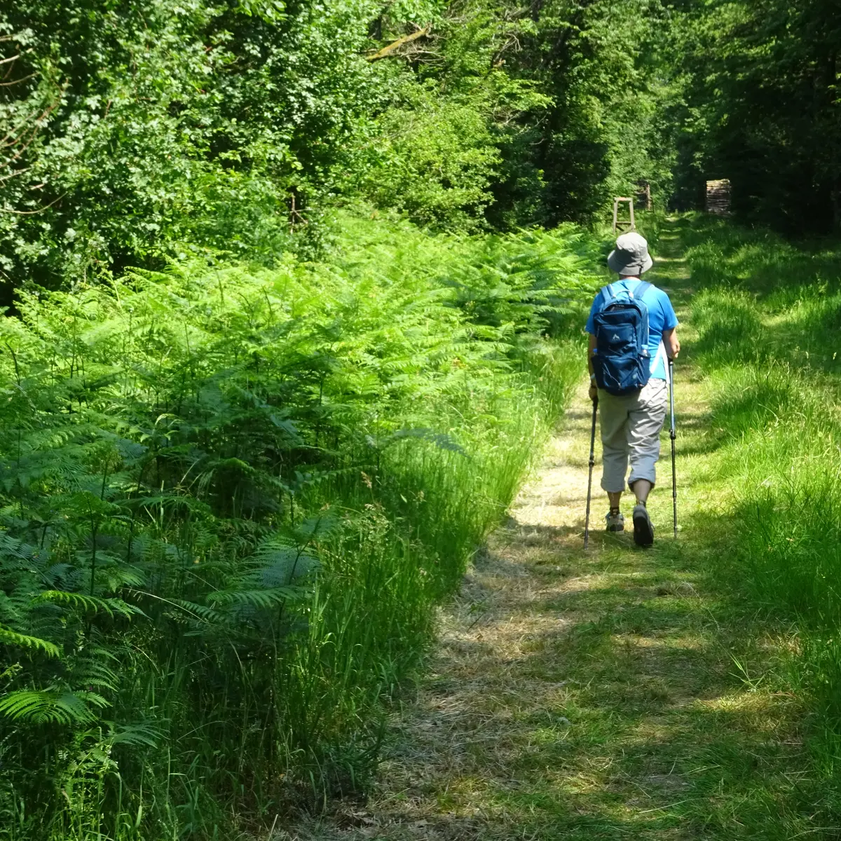
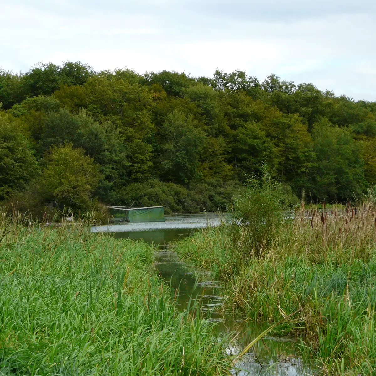
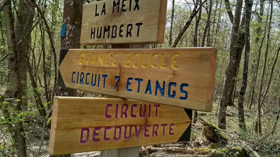
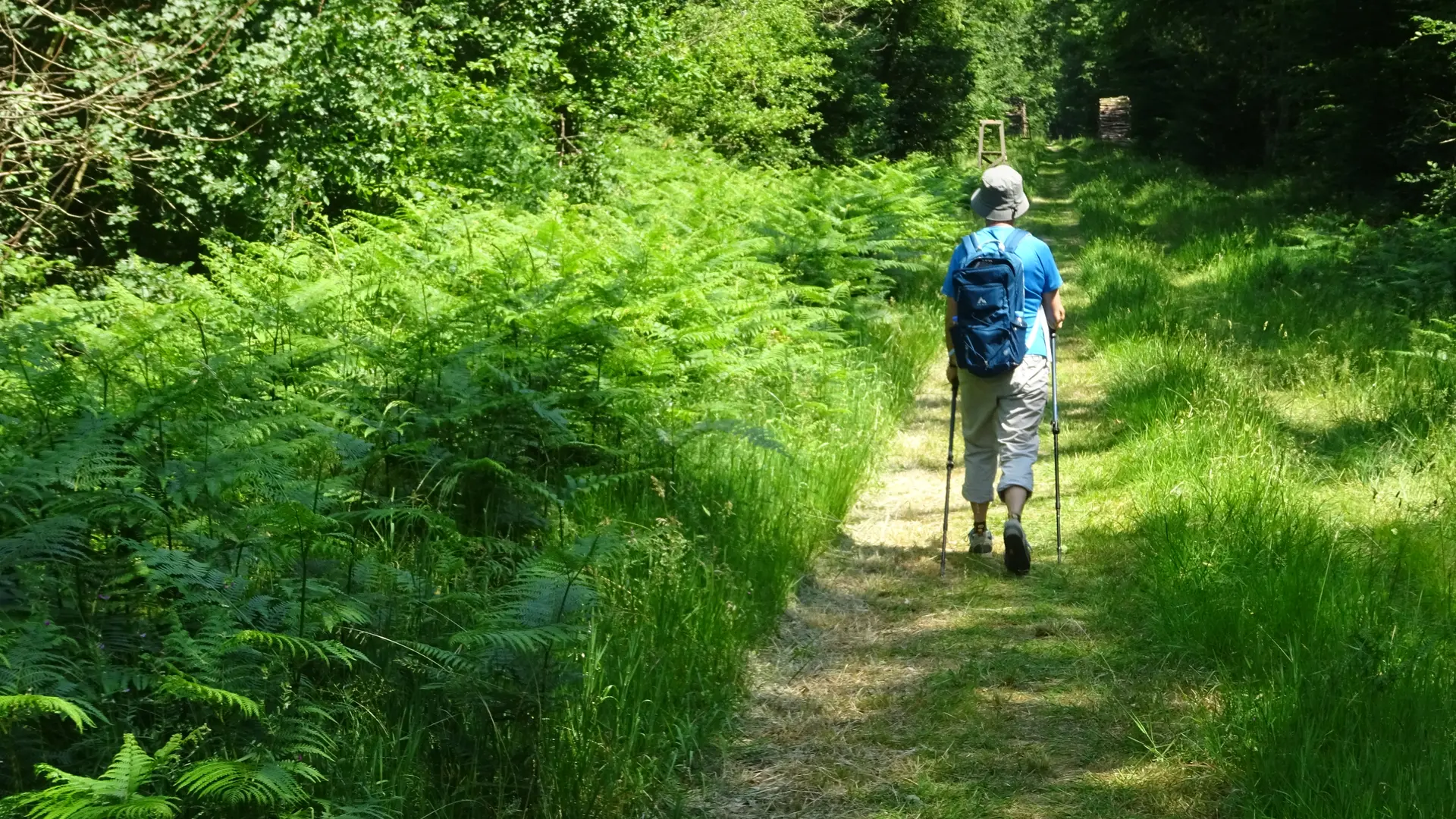
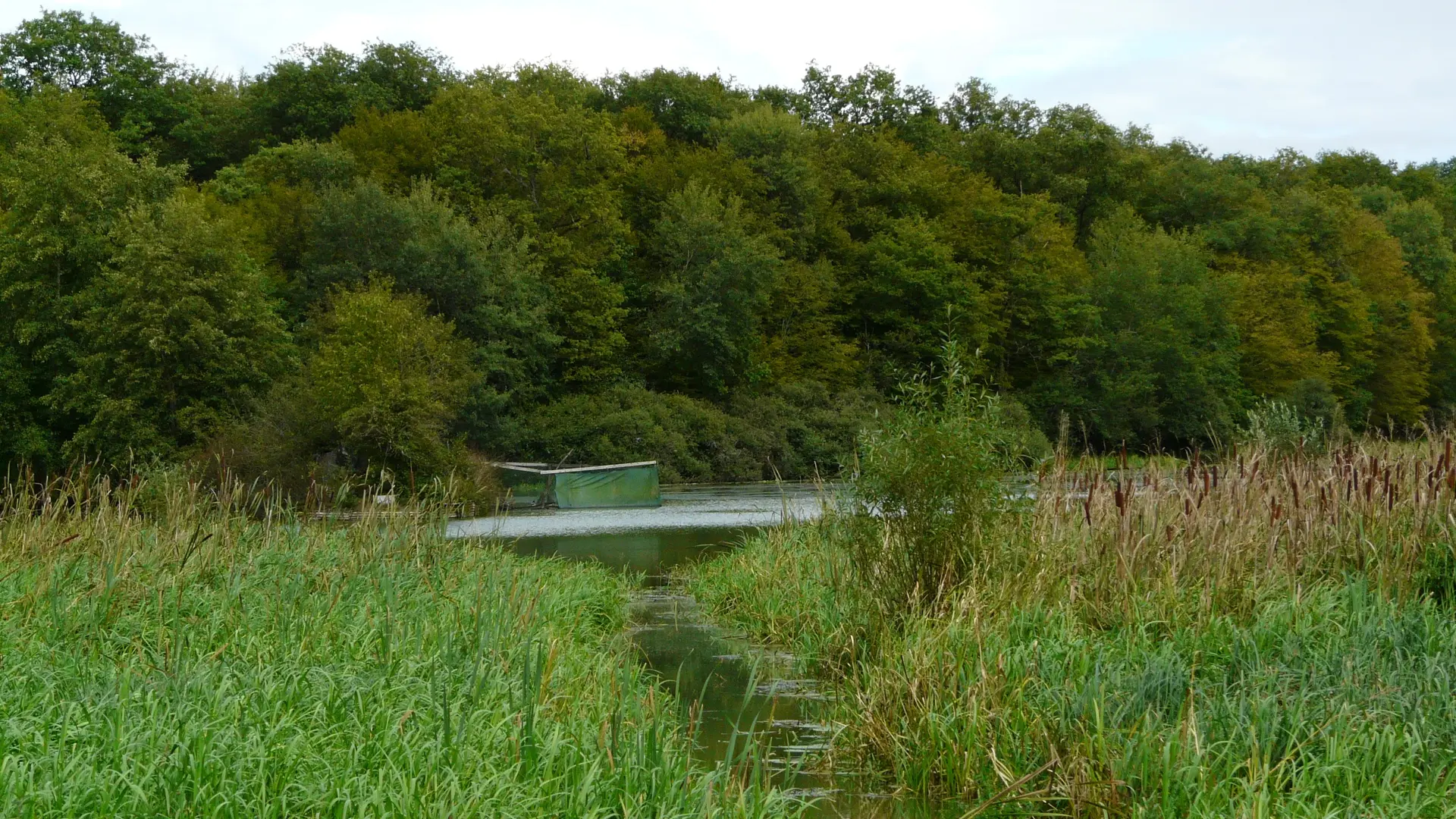
Partly shaded circuit, discovering the forest and ponds. Allows you to overlook the village with panoramic views of the Côte de Beaune and its prestigious vineyards.
Partly shaded circuit, discovering the forest and ponds. Allows you to overlook the village with panoramic views of the Côte de Beaune and its prestigious vineyards. Purple markings on various supports and directional signs. Access to the parking lot from the D 19 on the left towards Chalon-sur-Saône Montée des Poteaux opposite the old gatehouse of the disused railway line.
Read more