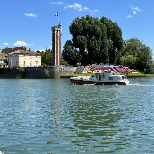
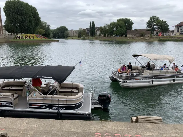
mapmap
©map
Simplified maps and toolswaterways of France

Waterway maps

Simplified waterway maps provide a clear, concise representation of the routes available to navigators. They highlight the main canals, rivers and ports, facilitating route planning and river navigation.

Waterways

from France

The French waterways map provides a detailed overview of the country’s many rivers and canals, essential for boaters and yachtsmen. It lists the main waterways, such as the Seine, the Loire and the Canal du Midi, making it easy to plan itineraries and river trips.
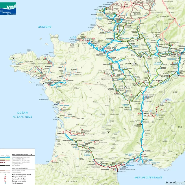
For your itineraries

A planning tool

For your river journeys, use Fluviacarte, where you’ll find information such as estimated time of arrival, number of locks, distance to travel, and much more!

Map kit

river logistics

A must-have for river logistics professionals, this cartographic kit includes a series of detailed maps of the French waterway network, grouped by basin or geographical area. These maps provide a wealth of essential information on track gauges and boat dimensions, navigation structures, and the ports and facilities available along the network.

Visit the VNF website to download maps of the various river basins.